How to Read a Metro Map
Short answer
A metro map is a diagram of lines, not a street map. Follow a color or a line number toward the terminus named on the platform, and change trains only where the map marks a transfer. Zones and fares are the operator's system, so this guide uses a fictional city for the worked trip. Check the first train in local time before you leave.
A metro map is a diagram that helps you choose a train. It is not a picture of streets, and it is not a promise that every station is the same distance apart. Once you can read lines, colors, terminus names, and transfers, you can use a map in a city you have never visited. This guide teaches that skill with a fictional network, so it does not depend on any one city's copyrighted map.
Real operators publish the map that matters for their tracks. When this page and their legend disagree, follow their legend, their timetable, and their fare table.
What the diagram is for
Open the legend before you trace a route. The legend is the small key that says what a color, a dot, a letter, or a dashed line means on that sheet. Symbols are not universal. A white circle in one city is an interchange. In another city the interchange is a double bar or a station where two colors meet.
The diagram simplifies geography on purpose. Lines are straightened. Stations are spaced so the names can be read. A long ride between two dots can look the same as a short one. North is often toward the top, and sometimes it is not. Do not use the angle of a line as a compass heading for a walk outside.
What the diagram does well is answer three questions:
- Which line passes through both the station you are in and the station you want?
- Which direction, named by the terminus, is the right one?
- Where, if anywhere, do you change?
Everything else, including the price and the clock, lives on a different notice. Keep the map for the route and the timetable for the time.
Lines, color, and terminus names
A line is a route with two ends. Those ends are the termini. The name printed at the end of the line is the name you will see on the platform when a train is going that way. If the Red Line runs from North Gate to Harbor, one direction is toward Harbor and the other is toward North Gate. You are not looking for "the red train" in the abstract. You are looking for the red line going toward the end that lies past your stop.
Color is a label. It helps your eye stay on the route when several lines share the page. The cars themselves may not be painted that color. Trust the sign on the platform and the line name on the front of the train, then use the color to find that line again on the paper.
Some systems name lines with numbers or letters instead of colors. A 1 train and an A train are different lines even when they share a tunnel for a few stations. Some systems use both a color and a name, such as a line that is both red and called by a neighborhood. Learn the label the platform actually uses. Either way you match the label, then match the direction.
Branching is the piece that surprises people. Two routes can share stations in the center of the city and split at the edge. The color looks continuous, but the terminus on the train tells you which branch you will get. If your stop is on the branch toward Harbor, a train on the same color toward a different end will not stop there. Read the end name, not only the color.
Direction of travel
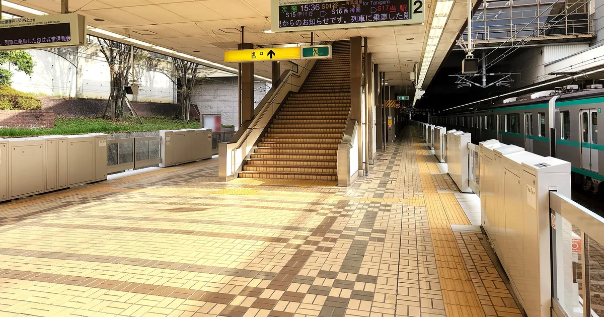
Each platform usually serves one direction. The sign overhead names the terminus that way. If you are standing under "toward Harbor" and your stop is in the other direction, you are on the wrong platform even though you are in the right station. Cross to the other side by the bridge, the stairs, or the corridor the station provides. Do not wait for the train to reverse. Most metro trains do not turn around for one passenger.
The diagram draws both directions as one stroke. That is why a new reader can board correctly at the station and still go the wrong way. Say the direction out loud before you pass the barrier: "Red Line toward Harbor." If the words on the sign do not match the words you just said, stop and look again.
Missing the stop is ordinary. Get off at the next station, cross to the opposite direction, and ride one stop back. You lose a few minutes. You do not need a new plan. If the next station is the terminus, the train will end and the return service leaves from the other track. Follow the signs rather than guessing which stair goes back.
Transfers
A transfer station is a place the operator has built so you can change lines. On the diagram it is marked in the way the legend explains: two colors touching, a special dot, or the word interchange. A place where lines cross on the drawing, with no such mark, may be two stations that happen to sit near each other on the page and do not connect underground.
Inside a real transfer, follow the signs for the new line and the new direction. You already know both. In the worked example below, the change is from the Red Line toward Harbor onto the Blue Line toward Hills. A sign that says Blue Line toward Market is the opposite direction. Color alone is not enough once you are in the passage.
Some transfers are a level walk of a minute. Others are long. A notice might say the passage is 300 meters. That is 0.3 kilometers, or about 0.19 miles (300 divided by 1,609). The <a href="/unit-converter/">unit converter</a> and the <a href="/blog/how-to-convert-miles-to-kilometers/">miles to kilometers</a> guide are there when a sign uses the unit you do not think in. A long passage can also include stairs. Step-free routes use the operator's own access symbol. Do not assume a transfer is step-free because the diagram looks flat.
Leaving the system and entering again is sometimes required. That can be a new fare, and it can be the right way when the lines do not connect. The legend, not a blog, tells you which crossings are inside the paid area.
Zones and numbered lines
Cities label networks in different ways. Two common patterns are enough to stop a map from looking random. They are descriptions of systems, not directions for a real trip in London or New York.
A London-style zone system draws bands, often numbered from the center outward. The fare can change when you cross a zone. The zone does not choose the train. You still name a line and a terminus, then use the zone at the fare machine. A short-looking ride can cross a boundary because the diagram is not to scale.
A New York-style system names routes with numbers or letters. The 1 and the A are different lines even when they share a trunk and then split. Board the label you chose. An express train that skips stations is the wrong train if your stop is local-only. These are labeling habits, not directions for a platform in either city.
Off-peak is a time window the operator defines, sometimes with a different fare. If a sign shows 4 units falling to 3, the difference is 1, or 25 percent of 4. That arithmetic explains a sign in front of you. It is not a fare to expect.
A worked trip in a fictional city
Port Meridian does not exist. Its map is small enough to hold in your head.
Red Line: North Gate, Maple, Central, Harbor.
Blue Line: Market, Central, River, Park, Hills.
Central is the transfer. The Red Line's ends are North Gate and Harbor. The Blue Line's ends are Market and Hills.
You are at Maple. You want Park. The trip is three stops and one transfer.
- At Maple, board the Red Line toward Harbor. North Gate is behind you. Harbor is the end past Central.
- Ride Maple to Central. That arrival is stop 1. Get off. Do not stay on toward Harbor.
- Follow signs for the Blue Line toward Hills. Market is the other end of the Blue Line.
- Ride Central to River. That is stop 2.
- Ride River to Park. That is stop 3. Get off. Hills is one stop further. Staying seated would take you past the station you wanted.
The count starts when you leave Maple. You pass through three stations after that, and you change trains once, at the first of those stations. If a friend says "Park is three stops," this is the count they mean. If they are counting the transfer as extra, ask them to name the stations. Naming stations removes the argument.
The return, so the direction flips
Going back from Park to Maple uses the same tracks and the opposite names. At Park you board the Blue Line toward Market, not toward Hills. You ride Park to River, then River to Central. You change to the Red Line toward North Gate, not toward Harbor. Maple is the next station. You get off at Maple. The colors did not change. The terminus names did. That is the whole skill.
If Central were closed, this fictional map would not offer a second transfer. A real map sometimes will. You would read it the same way: find another station where your line and a useful line both stop, then name both directions before you move.
Fares, cards, and the first train
Where a child fare exists, it follows the operator's age rule. The <a href="/age-calculator/">age calculator</a> can count age on the travel date from a date of birth. It does not grant the fare.
A holiday can run a different service. A <a href="/festival-countdowns/">festival countdown</a> shows that a date is close. The operator shows whether trains are running. Other practice notes sit with the <a href="/blog/topic/productivity/">productivity guides</a>.
A simple checklist
- Read the legend, then name the line and the terminus before you board.
- Change only at a marked transfer, onto the new line in the new direction.
- Treat zones as fares and line numbers as route names.
- Look up the first train in local time, and check a world clock if you are visiting.
- If you pass your stop, leave at the next station and ride back.
- Let the operator's map replace this page, including the fictional city.
Frequently asked questions
Is a metro map drawn to geographic scale?
Usually it is not. Designers straighten lines and space stations so the names fit. North is not always at the top. Use the map to choose a line, a direction, and a transfer. Use a street map, or the station's own exit signs, once you are above ground. The legend on the transit map tells you what the symbols mean in that city.
How do I know which way the train is going?
Read the terminus, the station at the far end of the line in the direction you want. Platform signs name that end, such as toward Harbor or toward Hills. A single stroke on the diagram stands for both directions. The platform chooses one of them. If the named end is the opposite of your trip, cross to the other platform.
Does a crossing on the map always mean I can change trains?
A mark in the legend means a transfer. Two lines that merely cross on the drawing do not always connect inside the station. Some changes are a short walk on one level. Others send you outside to enter again, which can mean a new fare. Read the legend before you promise yourself an easy change.
What is the difference between zones and line numbers?
Zones, in the London style of system, are areas that can change the fare as you cross them. Numbered or lettered lines, in the New York style of system, are the names of the routes themselves. One city can use either idea, or both. They are ways of labeling a network. They are not turn-by-turn directions for those cities.
Where do I find the time of the first train?
The diagram rarely prints the first-train time. The operator's timetable does, in local time. If you are visiting, check a world clock so you do not set the alarm for your home zone. Weekend and holiday first trains are often later than weekday ones. Confirm the day you are actually traveling.