World · Toulouse, France · Elections hub
ESA shows France's 'pink city' Toulouse from space, down to its rooftops, river islands and canals
In brief
The European Space Agency published a new Earth from Space image on October 23, 2026, showing the city of Toulouse in southwest France in remarkable detail. The picture was captured by the Pleiades Neo satellite mission. Toulouse is nicknamed la ville rose, or the pink city, because of its terracotta tiled rooftops, which give the city centre a warm red colour from above.
What you can see
The Garonne river is the star of the image. It winds through the city centre on its way from its source in the Pyrenees to its estuary near Bordeaux, crossed by many bridges. South of the centre, a group of river islands called the Ile du Grand Ramier holds Toulouse Stadium, which shows up as a white oval. ESA also points out the Brienne, Midi and Garonne canals, the Matabiau railway station, and the tree-lined avenues around the University of Toulouse, one of Europe's oldest universities, near the round Boulingrin garden. One rectangle near the station looks almost grey among the red roofs: that is Terre Cabade, the city's historic cemetery.
About the satellites
The two Pleiades Neo satellites have been in orbit since 2021 and take Earth observation images with a resolution of up to 30 centimetres. They belong to ESA's Third Party Missions programme, which means ESA uses its own ground systems and know-how to acquire, process, share and archive data from satellite missions built and run by other organizations. Fittingly, Toulouse itself is one of Europe's big space and aircraft hubs.
VSH take: Images like this are a great way to get kids curious about maps and geography: spot the river, count the bridges, find the stadium. Try the same with your own street using our satellite view tool, see how places changed over the years in Earth then and now, or watch the planet live on Live Earth from space. Dreaming of a trip to southern France? Compare fares on the flights hub and check the time difference with the time zone converter. Geography students can find more help on our study pages and exam guides.
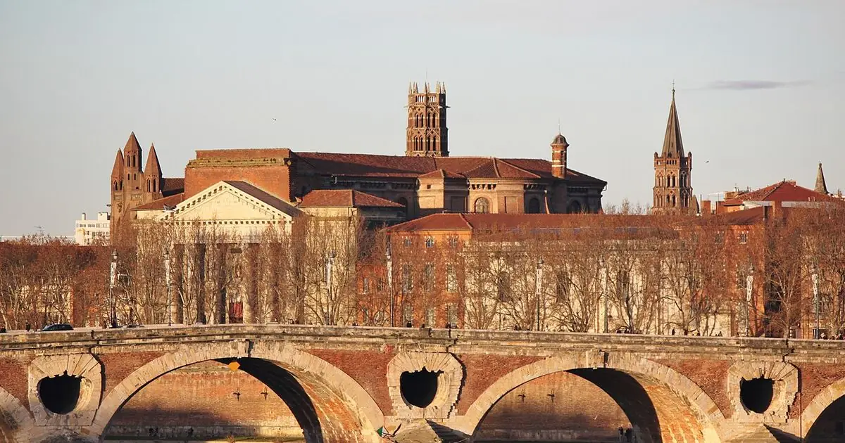
ViralScopeHub is an independent news summary site and is not affiliated with ESA or the Pleiades Neo mission. Our photo is a CC0 ground-level picture of Toulouse, not the ESA satellite image, which you can see in full on ESA's website.
Why it matters
The image shows how sharp modern Earth observation has become, with details as small as 30 centimetres, and it is a fun, kid-friendly look at a famous European city.
People also ask
Why is Toulouse called the pink city?
Because of its terracotta tiled rooftops and brick buildings, which give the city a pinkish-red colour. In French the nickname is la ville rose.
Which satellite took the image?
The Pleiades Neo mission, two satellites in orbit since 2021 that can capture images with a resolution of up to 30 cm.
What river runs through Toulouse?
The Garonne, which flows from the Pyrenees to its estuary near Bordeaux.
What is ESA's Third Party Missions programme?
A programme in which ESA uses its ground systems and expertise to acquire, process, distribute and archive data from satellites run by other organizations.
Related free tools: satellite-view-of-my-house, Time Zone Converter
Sources
Every ViralScopeHub news item is an original summary written in our own words. We link to the original reporting so you can read the full story from the publisher.