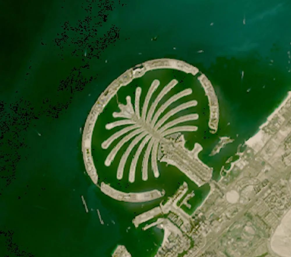
 Palm Jumeirah, Dubai
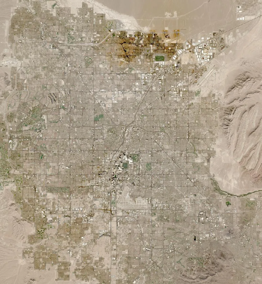 Las Vegas growth
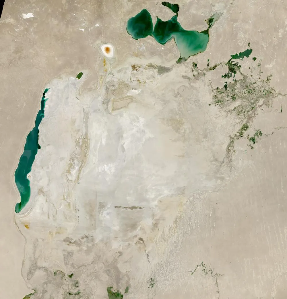 Aral Sea
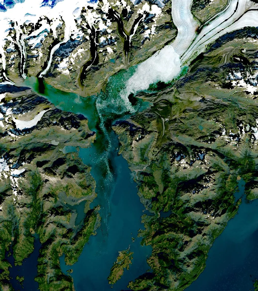 Columbia Glacier
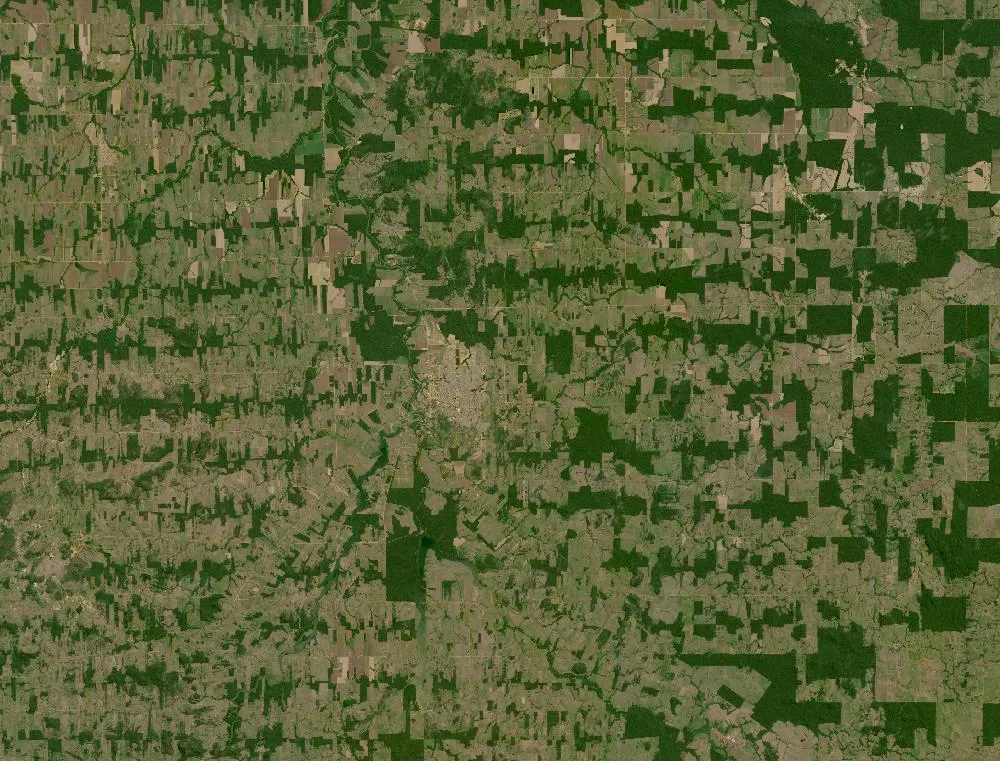 Rondônia, Amazon
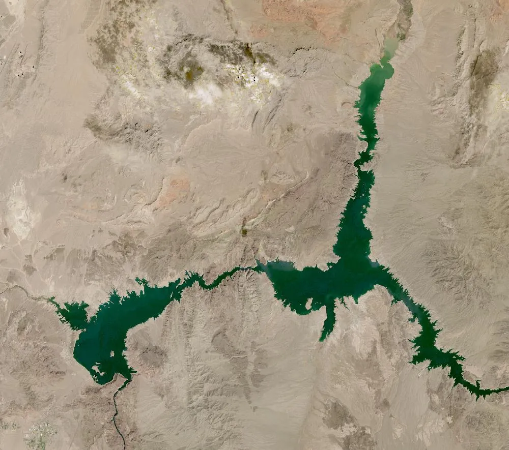 Lake Mead
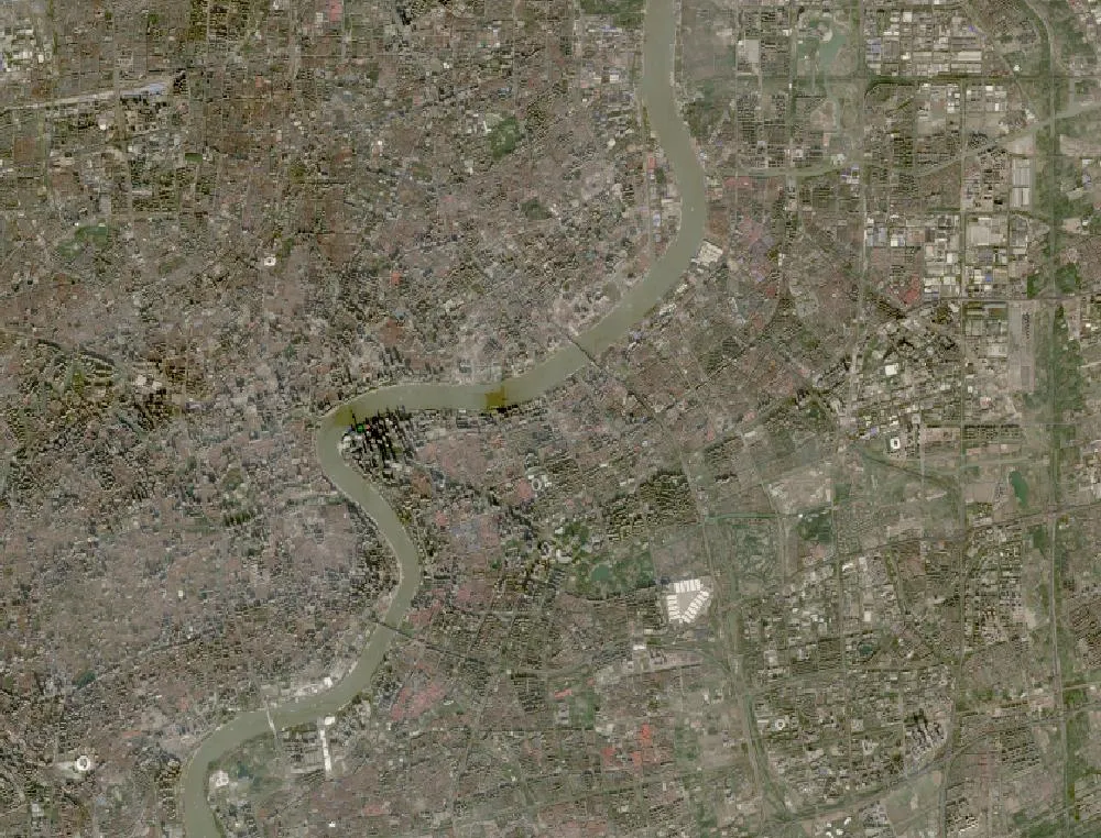 Shanghai Pudong
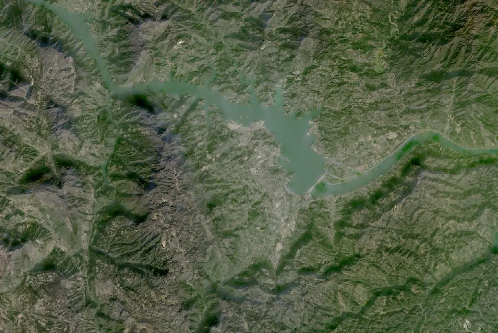 Three Gorges Dam
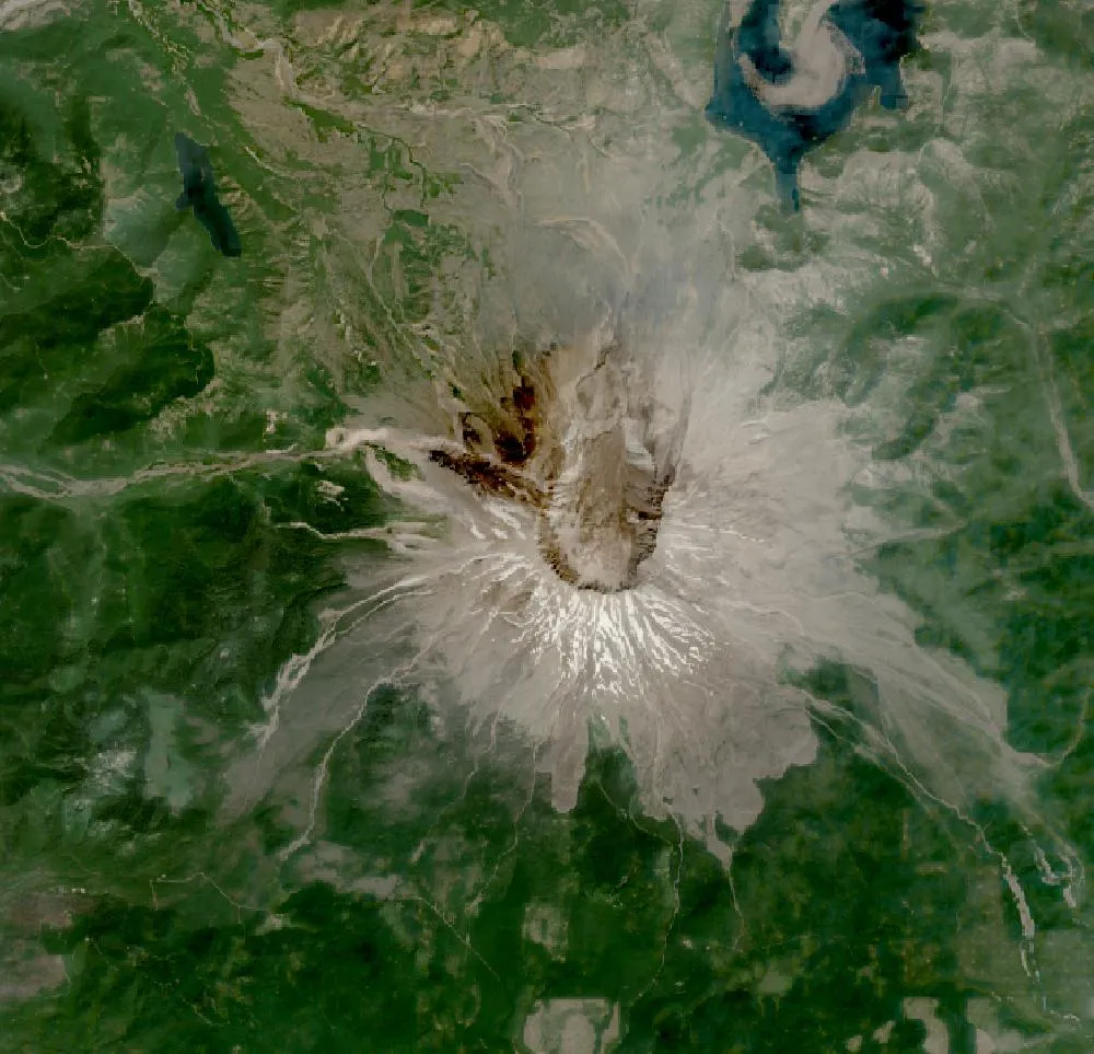 Mount St. Helens
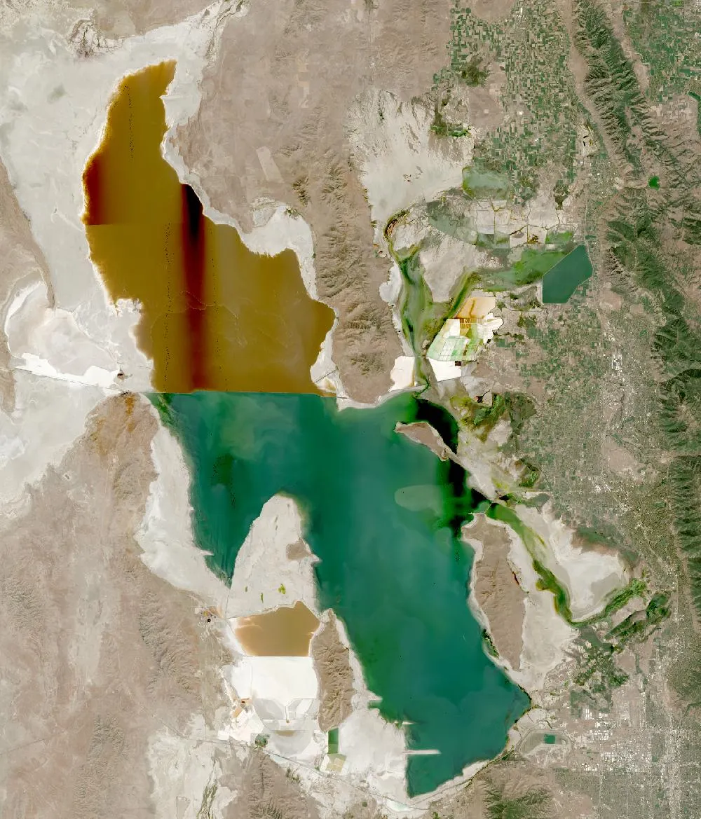 Great Salt Lake
Seeing change from space
Since 1972 the Landsat satellites, run by NASA and the US Geological Survey, have photographed every part of Earth again and again. That long record lets anyone compare the same place across decades. Each pixel covers about 30 metres, which is enough to see new islands, growing cities, shrinking lakes, retreating glaciers and cleared forests.
Every page in this series puts an older Landsat image next to a recent one and adds a slider, so you can wipe from then to now. We explain what changed, why, and what scientists say it means, in plain language that works for students and curious adults.
Three kinds of change
- Building and growth: Palm Jumeirah, Las Vegas, Shanghai Pudong and the Three Gorges Dam show how quickly people can reshape land and water.
- Water: the Aral Sea, Lake Mead and Great Salt Lake show what happens when more water is taken from rivers than flows back.
- Ice, forests and recovery: Columbia Glacier and the Amazon in Rondônia show losses, while Mount St. Helens shows nature recovering after a volcanic eruption.
How we made the images
The “then” images are annual Landsat composites, from the NASA Global Web-Enabled Landsat Data project, for 1985, 1990 or 2000. The “now” images are cloud-free days from NASA’s Harmonized Landsat Sentinel-2 product. All are free public data accessed through NASA GIBS, and we host copies on our own site. Because they come from different sensors and seasons, colours can differ a little. Compare shapes, not exact shades.
Explore more
Try our Earth year by year timelapse, the live Earth from space view or Ancient Earth for how the continents moved over millions of years.
For more years of change, explore Google Earth Timelapse (opens in a new tab), which shows Landsat images from 1984 to recent years for anywhere on Earth.
Frequently asked questions
Are these real satellite photos?
Yes. They are real images from NASA/USGS Landsat and the NASA HLS product. Some are made by combining many clear days into one picture to remove clouds.
Can I use these images for school?
Yes. NASA and USGS Landsat imagery is in the public domain. Please credit NASA/USGS.
Data and credits: Imagery: NASA/USGS Landsat (GWELD and HLS) via NASA GIBS, public domain. See all Live Earth & Space tools and our credits page.