USA · Washington, D.C., USA · Elections hub
USDA and NASA team up to use satellite data for better U.S. farm statistics
In brief
U.S. Agriculture Secretary Brooke Rollins and NASA Administrator Jared Isaacman signed a memorandum of understanding on October 24, 2026 to bring NASA Earth observation, geospatial analytics and statistical methods into USDA's agricultural statistics. The agreement took effect immediately and supports the USDA Data Modernization Plan launched last month.
What the agreement covers
According to USDA, cooperation may include agricultural statistics, remote sensing science, modeling, geospatial data engineering and machine learning. The release lists three main areas:
- Mission and data alignment: regular technical exchanges so NASA satellite products match what USDA statisticians need.
- Data access and infrastructure: easier access to NASA archives, cloud-native geospatial formats and APIs for USDA production work.
- Methods and validation: joint reviews of crop condition indicators, yield models, planted and harvested area estimates and disaster impact assessments, checked against ground data.
Why satellites help farm data
Crop reports influence prices, insurance and disaster aid. Satellite images can show crop health and flooded or drought-hit fields across huge areas quickly, which can mean fewer survey forms for farmers and faster estimates.
VSH take: This is a quiet but useful deal. Better data usually means faster help after storms and droughts. Curious how big a field is? Try our area calculator or the unit converter for acres and hectares, and see our planet from orbit on Live Earth. Students can find science help on our exam guides and study pages.
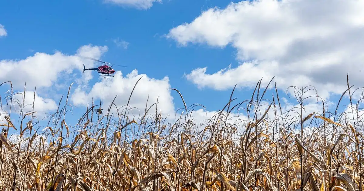
ViralScopeHub is an independent news summary site and is not affiliated with USDA or NASA. Details are from the official release; check the official source for updates. The photo is a file photo.
Why it matters
Faster, more accurate crop estimates affect food prices, farm insurance and how quickly disaster aid reaches farmers.
People also ask
When did USDA and NASA sign the MOU?
On October 24, 2026, effective immediately.
Who signed it?
Agriculture Secretary Brooke L. Rollins and NASA Administrator Jared Isaacman.
What is it for?
Using NASA Earth observation and geospatial tools to improve USDA agricultural statistics.
Will farmers notice changes?
USDA says the goal is to reduce burdens on producers and make data more timely and accurate.
Related free tools: Area Calculator, Unit Converter
Sources
Every ViralScopeHub news item is an original summary written in our own words. We link to the original reporting so you can read the full story from the publisher.